Canol Highway
Yukon Territory, Canada ca. 1968
The Canol Highway ("Canada Oil") was built during World War II by American forces to bring oil from a refinery located in Norman Wells, along the MacKenzie River, to Whitehorse. It was all part of the fear of Japanese invasion through the Aleutian Island chain and Alaska.
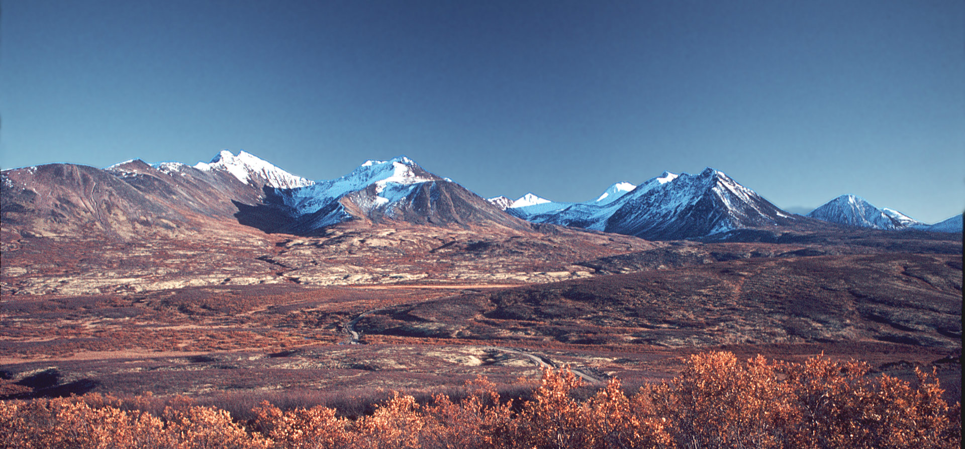
These pictures were taken during the late 1960's and very early 1970's. At that the time The Canol was a seasonal gravel road that led from the Alaska Highway a bit east of Whitehorse to the Yukon-Northwest Territories border. It was not maintained beyond that point so it was effectively a dead-end road of several hundred miles in length. Consequently it was but little travelled . . .nearly deserted in fact. As you can see, the scenery was magnificent. I travelled the road at least once a year, enjoying the country, the wildlife and the solitude. At the end of the day, I pulled my camper truck off the road anywhere I could and settled in for the night . . . no looking for campgrounds . . . no worries about noisy fellow campers.
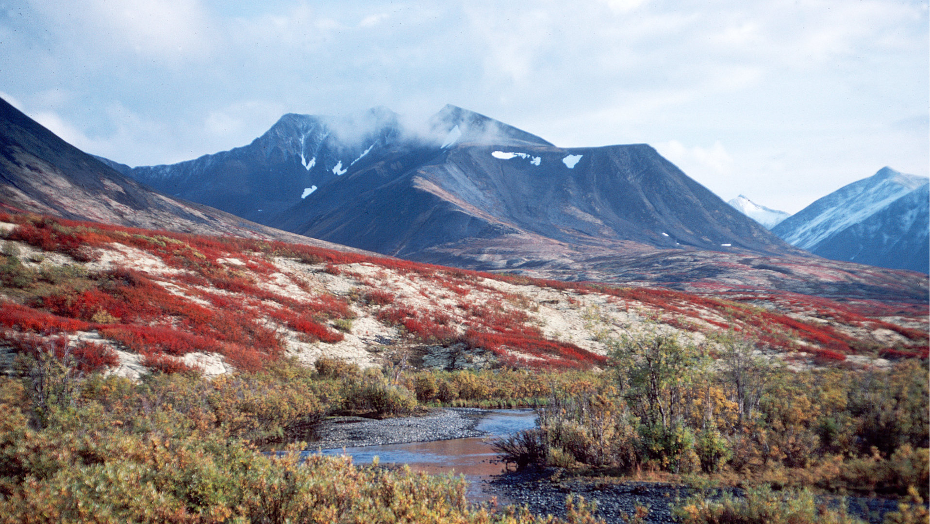
MacKenzie Mountains, North Canol, Yukon Territory 1973
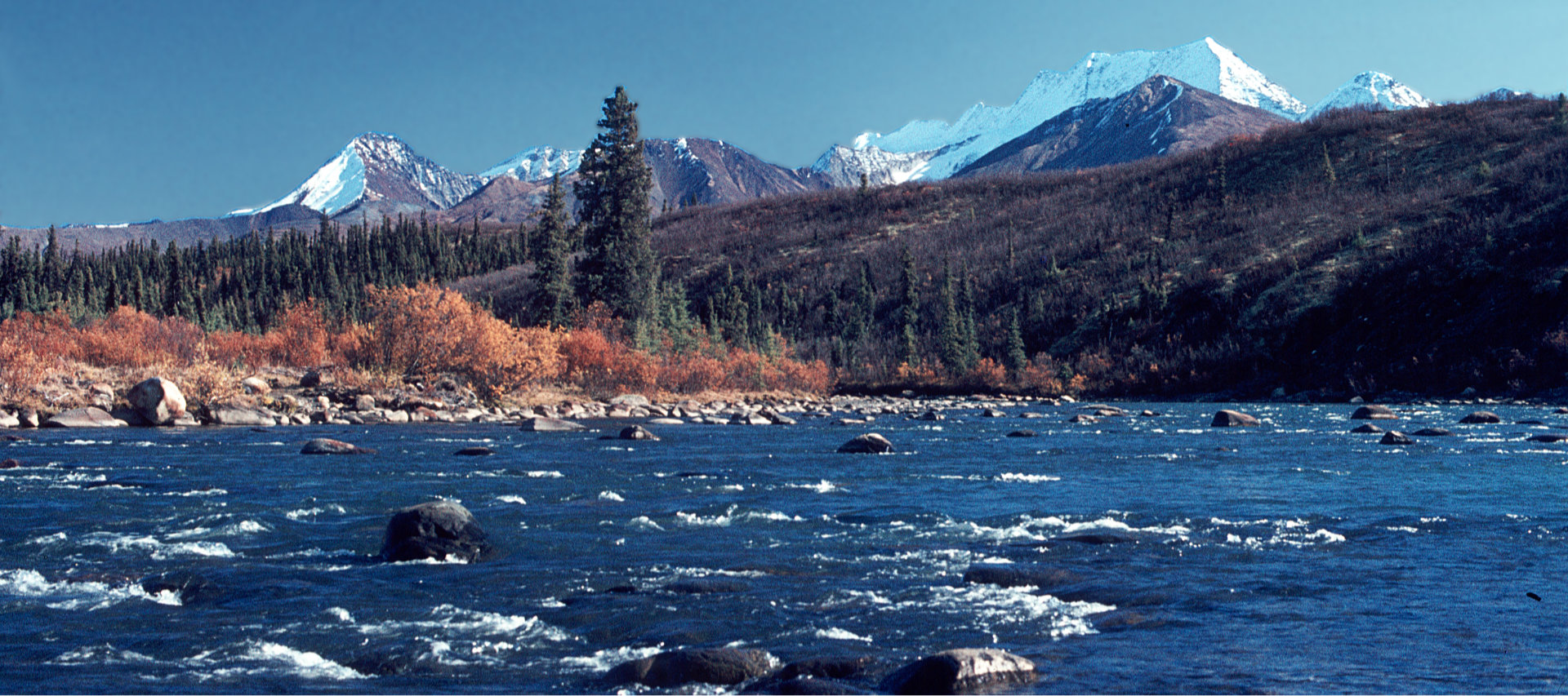
Ogilvie River, North Canol, Yukon Territory 1973
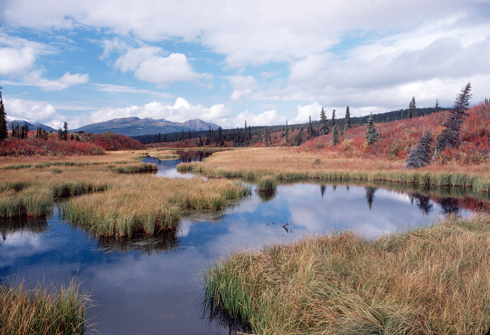
Marshy Area - North Canol, YT
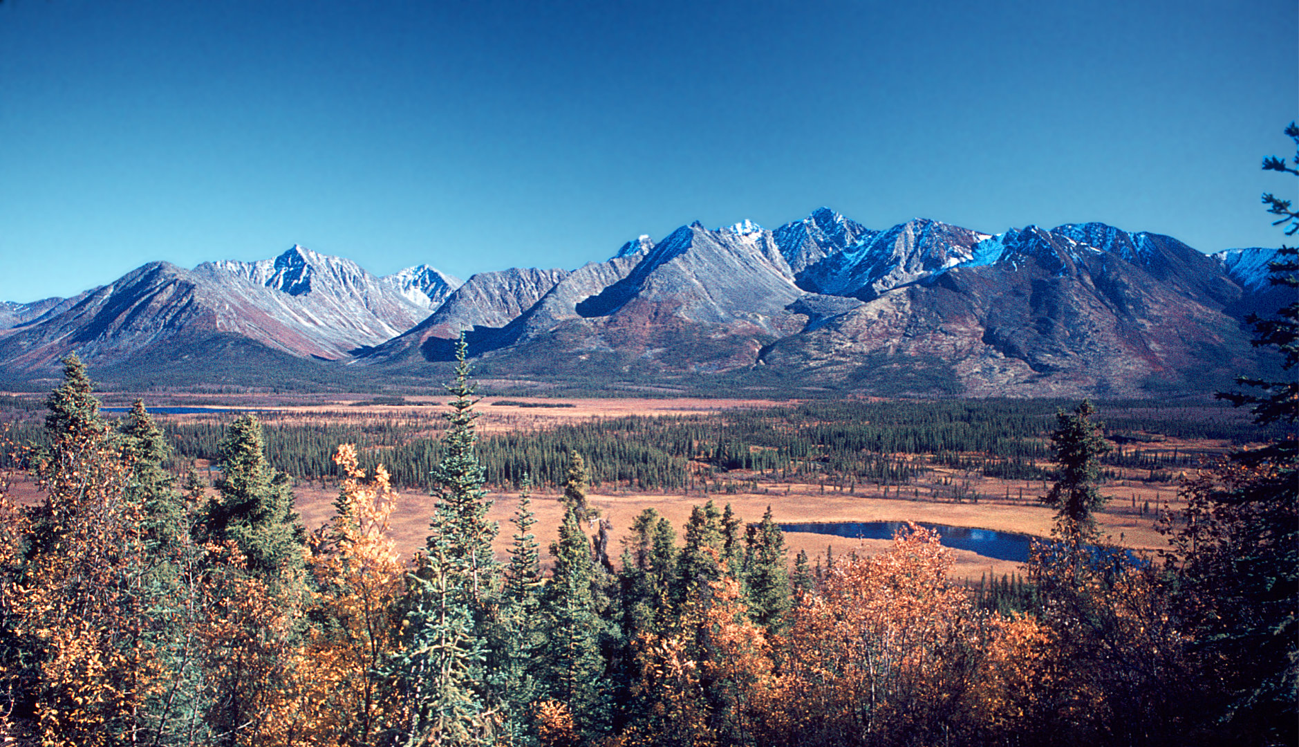
MacKenzie Vista North Canol, YT
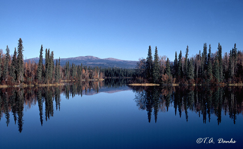
Dragon Lake, North Canol
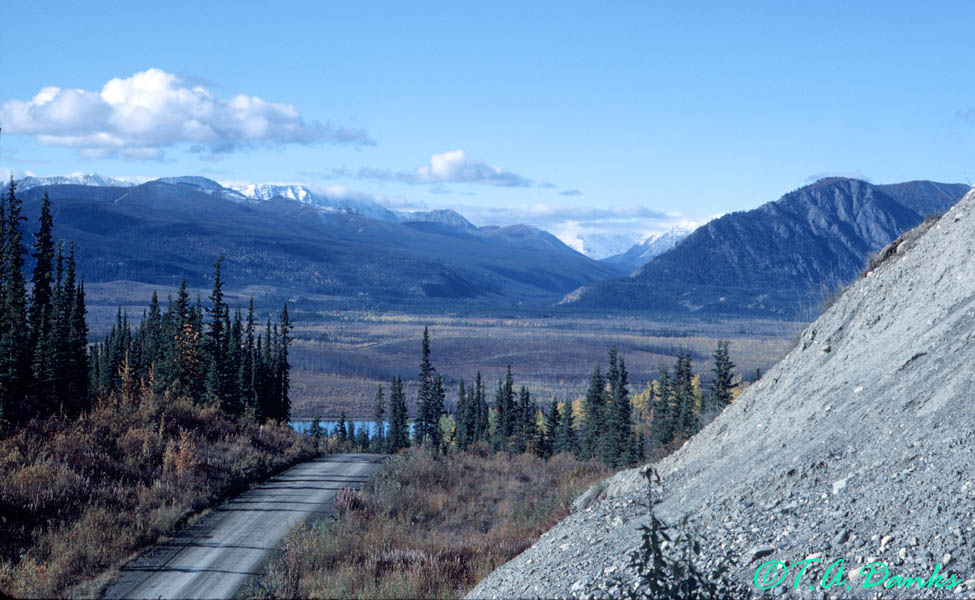
Vista on South Canol, Yukon Terrirory
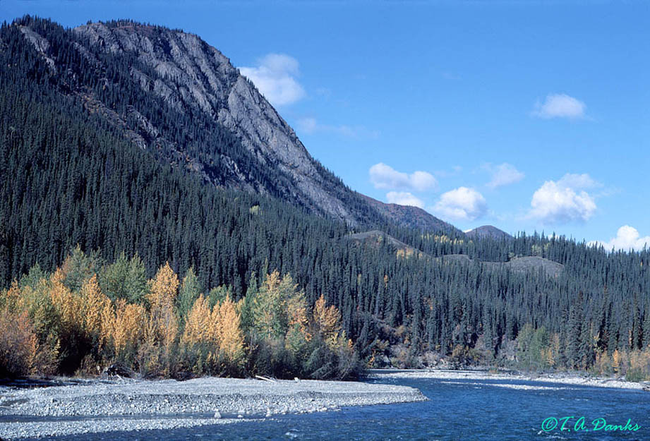
Scene on South Canol Highway, Yukon Territory
Use "Back" button or Return to Home